I went for my first hike in a number of months earlier today which also was my first hike in a while where I wasn't the hike leader. The friend I was with and I have been on the usual route that goes from Discovery Bay to Mui Wo via the Trappist Monastery several times. We've also (separately) hiked from Discovery Bay to Mui Wo via Lo Fu Tau.
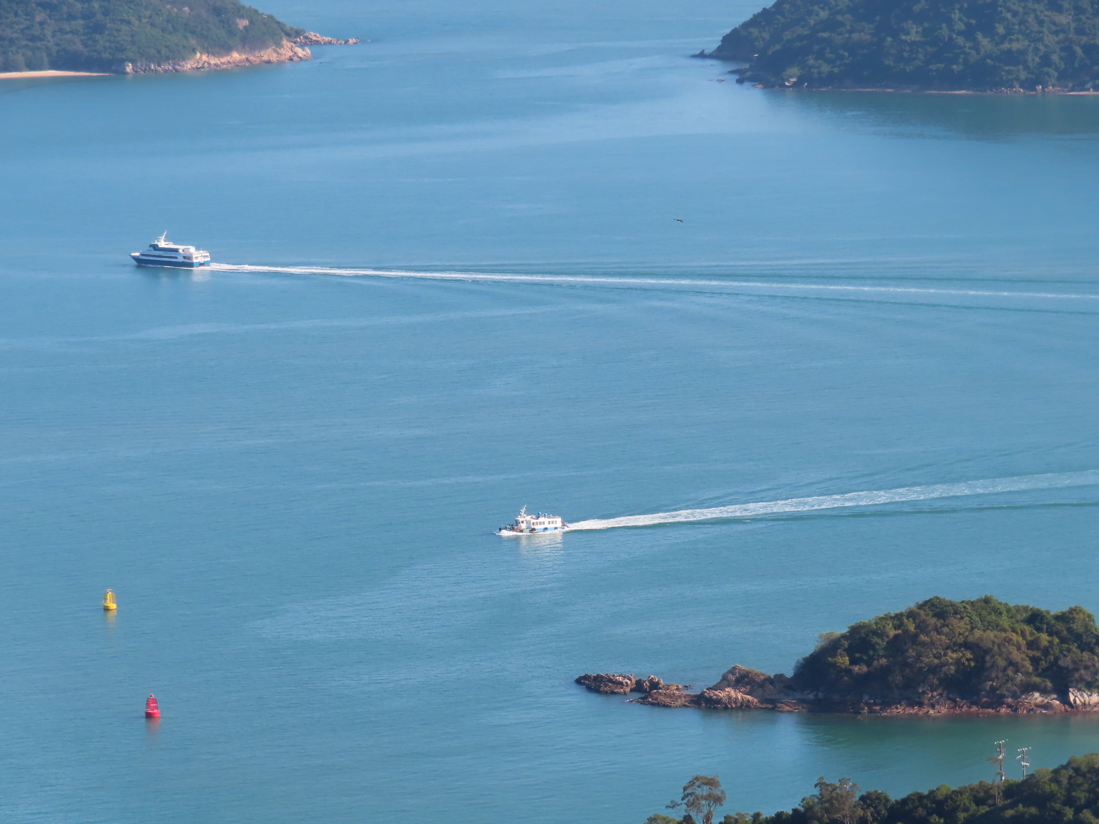
This time around, my friend took me on a route further to the east of both of those that's not as easy as the former but also no where as difficult as the latter. There were a couple of uphill sections on this trail -- which also appears to be far less of a beaten track than the others -- that I found on the challenging side (and one where I worried that I had gotten stuck because the next step was just so high up!) But all ended up being well; with some stupendous views to be had and also an interesting sight involving a fishing folk using an interesting fishing method to get quite the haul near the Trappist Monastery pier that ended up being the hike's end destination (rather than Discovery Bay)!

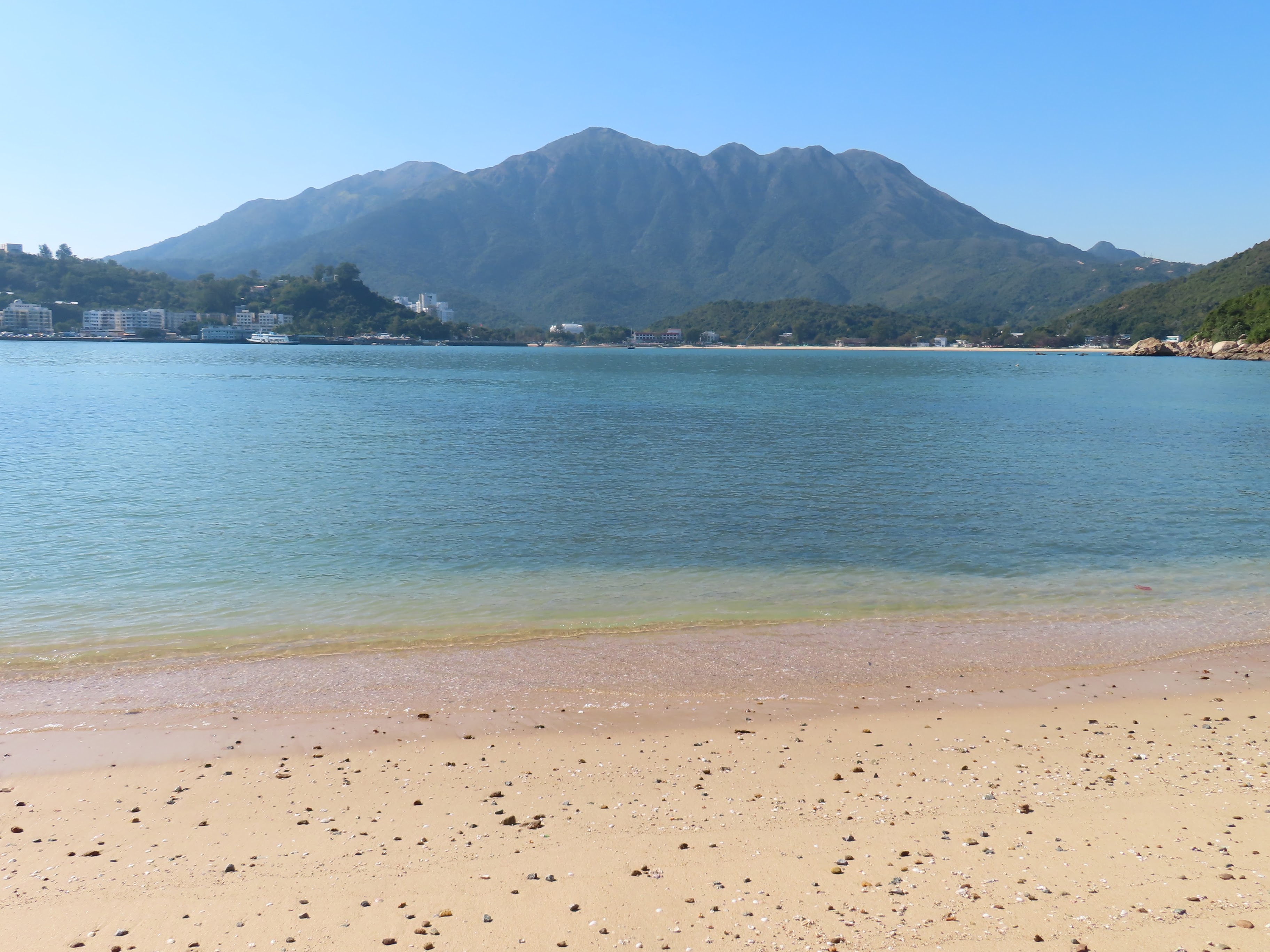
Bay Beach, Mui Wo and the mountains behind them

included the significantly more populated -- but still

they are out hiking but for me, this can be a charm
of hiking in Hong Kong! :)

one can indeed do so when out hiking in Hong Kong :)
if one's so inclined -- as was the case with me :b

sky afternoon like today's was!

what I could see, pretty productive work at that!)
2 comments:
Hi there,
Noticed you were going towards Man Kok Village but turn up the slopes a bit after reaching the beach with no name. From overhead photos, it would seem you were walking up a fire boundary gap. The big gap appeared to be left without too much plant life there.
There is an ordinance magazine at Man Kok. There is also an archeological site there too. Man Kok Village is a small one with limited villagers. There had been some controversal news about building a new public pier there to serve a minority group. Don't know if it is a mis-match of urban resources of sort.
T
Hi T --
You got it right re where I was hiking!
I saw the ordinance magazine/government explosives depot (at nearby Kau Shat Wan) from high ground. Had heard about the archaeological site at Man Kok but my Lantau map (2016 edition) didn't show it.
Also, the map showed a path uphill that looked easy but proved to not be that easy to go along! Sadly, it seems that the countryside maps aren't all that reliable anymore!
Post a Comment